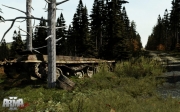
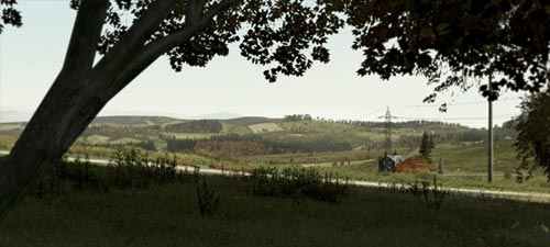
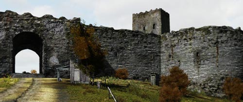
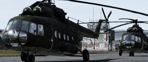
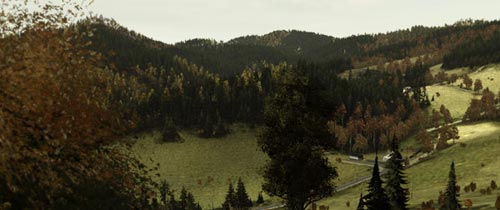
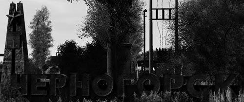
Auf der offiziellen Website von ArmA II wurden in der Nacht einige Content Updates eingefügt. So gibt es jetzt dort eine neue Rubrik, in der sich alles um das Einsatzgebiet Chernarus dreht. Dieser wurden drei neue Bereiche zugeteilt und mit Informationen und neuen Screenshots gefüllt. Old sights, Military Zones und Nature sind die drei Bereiche, zu denen ihr heute neue Infos erhaltet. Leider sind diese erstmal nur in Englisch verfügbar, dennoch enthalten sie wichtige Infos, aus denen man seinen nutzen ziehen kann. Ob es noch weitere Rubriken geben wird, können wir euch noch nicht sagen, jedoch gehen wir davon aus. Bis dahin sind wir wachsam und halten euch natürlich auf dem laufenden.
Chernarus
North-Eastern Chernarus is a hilly area with rocky coastlines; the biggest hilltops reach over 700 m above sea level, covered by temperate forests. The environment is still relatively untouched from logging and mining. The biggest cities and industry are concentrated on the southern coast. There are mostly smaller villages inland, situated in deep valleys, hidden in forested ridges or on elevated plateaus with lush meadows.
First settlements date back to 5th Century B.C. When the valleys of the Burnaja and Svetlaya rivers were inhabited by Skyth tribes and nomads, who later formed the Takmyr and Karzeg nations. The center of modern Chernarus had been founded in the delta of the Burnaya River and on the coast, divided from the Zagorie region which was under the supremacy of a Moscow Principate by the Black Mountains ridge. The local Slavic population constantly had to fight off the raiders from the southwest so it was traditionally bound with Russia, but always kept its independence. In the 12th Century it was controlled by dukes, in the 13th century it was united by Taras Kozub. The Kozub dynasty ruled until 1631, when Chernarus joined the Russian empire. After the revolution in 1917 Chernarus became an autonomic federal republic, after the demise of the USSR in 1991 it gained independence.
Features:
- 225 km2 of real world data
- 1 million 3D objects
- 350 kilometers of roads
- 50 towns and villages
- 2 dams and numerous small lakes and ponds
- Certain hilltops reach an altitude of over 700m
- Almost 100km2 of forests
- Urban areas contain ports, factories
- Military installations including large airfield
- Direction and distance signs accompanying road network
- Civilian population and wildlife
Old sights
Military Zones
Nature
